What’s in a Name?
The names of villages, hamlets, streets, fields and other features of the physical landscape provide a fascinating window into the historical, geological or topographical characteristics of a locality. So what can be gleaned from the names in Turvey’s landscape?
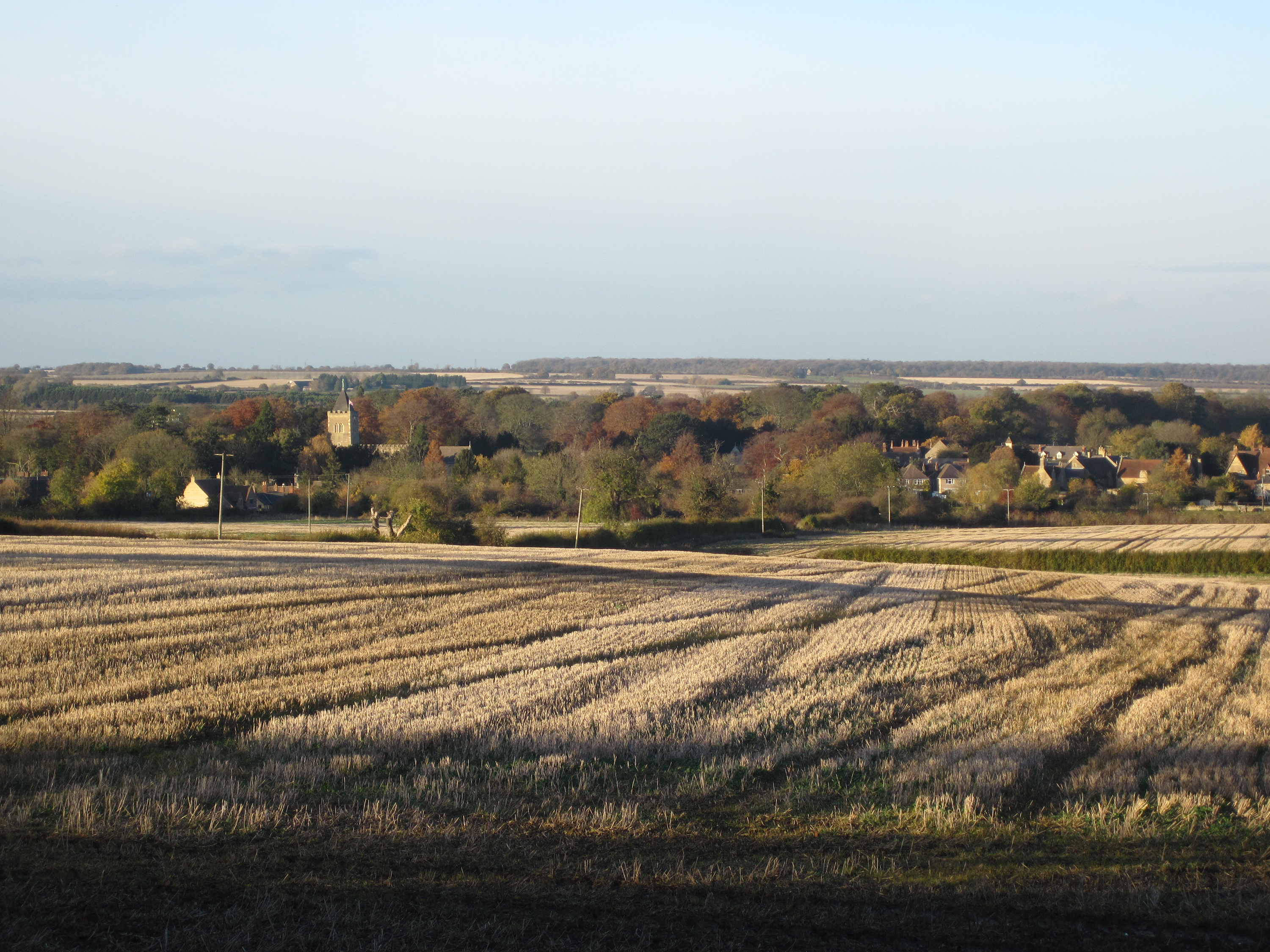
The Origin of “Turvey”
The name Turvey itself, according to the database of English place names held by the Institute of Name Studies at the University of Nottingham (see Key to English Place-names) means ‘ turf island’. ‘Turf’ is thought to derive from the Old English language spoken by the Anglo-Saxons between the 5th and 12th centuries. The ‘ey’, derived from the Anglian ēg, when used in ancient settlement names generally refers to dry ground surrounded by marsh. In late Old English names it means well watered land. So, perhaps unsurprisingly to those of us familiar with the flooding of the River Great Ouse as it flows through Turvey, it seems the name is an apt description by the early inhabitants of the village’s location.
Enclosures, Fish Ponds and Dovecotes
Field names too have a long history, and for Turvey this can be explored through the 1782 Pre-enclosure map and the 1843 Tithe map held at Bedfordshire Archives. These reveal the names by which fields across the parish were known at the time. Some of these names suggest much earlier history – for example ‘Fishpond Close’ and ‘Dovehouse Close’. Fish ponds and dovecotes were typically associated with medieval manors or ecclesiastical settlements where they were important in providing sources of food. The word ‘close’ denotes an enclosure, that is a fenced, walled or hedged piece of land, in contrast to the very large, communally farmed open fields comprising much of the medieval landscape. Dovehouse Close was located north of Priory Farm in the probable vicinity of a settlement known as Dudley’s manor which existed in the 13th century.
Baiting Close
Another interesting field name on the 1782 map, ‘Baiting Close’, may also point to medieval origins when bear and bull baiting were popular recreations. It lay in the far south-east of the parish, near the border with Stagsden (see map below). The location is not far from the site of the remains of a medieval moated complex in Stagsden parish (marked to the south on the map as ‘manorial earthworks’) believed to be the site of an early 11th century royal manor. The field name could also reflect a more recent pastime as bull baiting continued into the early nineteenth century in some places, particularly in rural districts where opposition from civic authorities was less likely.
How, Acre and Horseclose
How Spinney, Acre Spinney and Horseclose Spinney named on the present day map in the same area all have associations to old field names. Horseclose Field was one of the three pre-enclosure common fields in this area (the other two being Elderswell and Middle Fields). How Spinney lies to the south of the former How Close and Acre Spinney is on the site of the field named ‘Twelve Acres’ on the 1782 map.
Old Field Names in Modern Turvey
Whilst many field names have been lost to present day view, some have been incorporated in the landscape in new ways. The 1990’s housing development Baker’s Close is built on part of what was a large enclosed field of the same name that covered land south of the village between the river and what we now know as Newton Lane. Did the name reflect the name or occupation of a once owner of the field, as was often the case? Or could it be derived from the Anglo-Saxon word baece which had meanings both of back (in this case, perhaps meaning at the back of the village settlement?) and stream (perhaps relating to the riverside location?). Or, as with fields elsewhere with the word ‘bake’ in it, did it derive from meanings associated with burning? Fields where old agricultural practices of ‘paring and burning’ were used often had the word ‘bake’ or derivations from it in their name. Or did Bakers Close get its name because it was where there was once a limestone quarry, and perhaps therefore maybe lime burning too?


No Comments
Add a comment about this page